Bikepacking Peru’s Valle de los Volcanes
This Article originally appeared on The Radavist in 2017
After dealing with a dead Garmin and a bricked iPhone (my only GPS devices) for a while during my last stint in Perú, I decided to put the trip on hold for a few months and head back to the States. It was a nice break to sort a few things out, skip a little bit of Peru’s rainy season, and take it easy for the holidays.
That said, it doesn’t take a whole lot of time enduring the salty, gray winter of suburban Detroit to long for the days of getting hailed on in the high Andes and eating alpaca intestine soup with a rusty spoon.
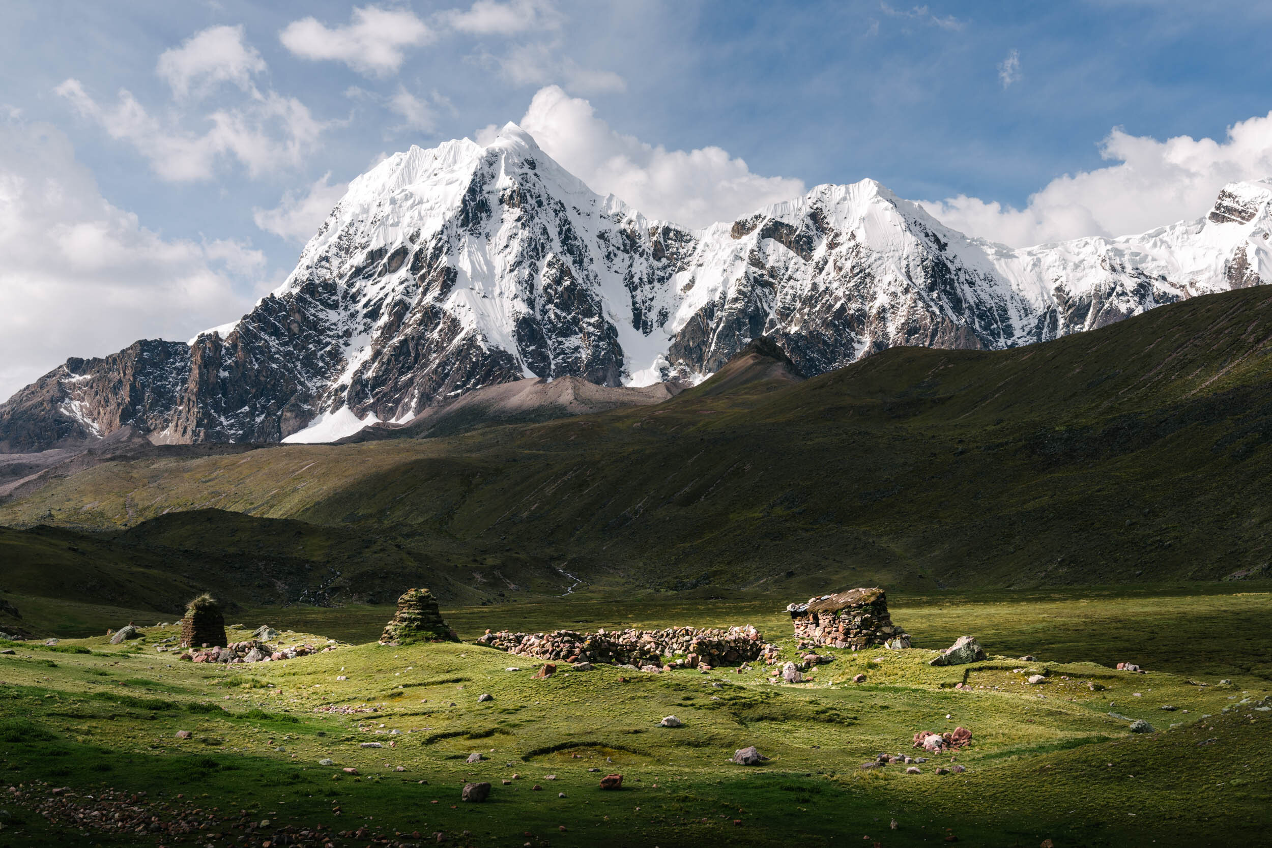
Originally I had planned to head straight back to where I left off near the border of Bolivia, but after landing in the Peru, I decided to piece together a route to get back into the flow of things (read: get back into some semblance of riding shape). It would also allow me to check out some areas that were out of reach on my previous route. This led me toward a region of the country that is home to the two deepest canyons in the world, the second largest glacier in the tropics, and quite literally hundreds of volcanoes.
One way to kickstart getting back into riding form is by throwing yourself directly at what has to be one of the largest sustained climbs in the world, from the small town of Aplao at 2,000 feet above sea level to a pass above 16,100 feet roughly 55 miles (and couple days) later. It isn’t often that you get to climb through the sweltering lower canyons, into the lush greens of the cloud “forest”, and over the glacier-laden high Andes in one go.
Of course, in true Peruvian fashion, the route is scattered with small villages filled with friendly locals. One such local that I ran into was a gentleman name Alfredo, who was out riding a skinny tire bike up a rather muddy road toward the farm that he works at. After the usual tire squeezing and counting of the cassette cogs (doce!), we continued on in opposite directions.
Later that evening after I set up in a local hospedaje (cheap hotel), I was walking down a road just outside of town when I heard a voice cry out from a small home just off the road, and out comes running mi amigo Alfredo. He quickly waves his arms and tells me to follow him. “Wait right here” he said (in Spanish), as he went inside his home… A minute or two later he comes out donning a full set of traditional Peruvian attire and requests that we re-do his photo in the proper gear.
Of all my time in Perú, this was unquestionably one of my favorite interactions and is a prime example of how proud the people of this country are of their traditions.
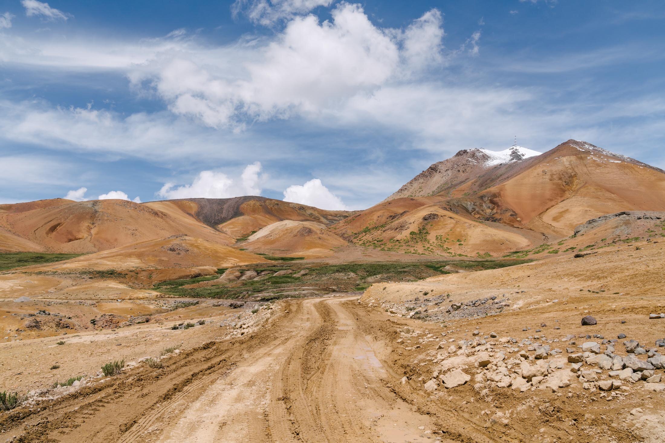
The route continues down into El Valle de los Volcanes, which contains more than 85 volcanic cones on its own, and a road that twists through hills of volcanic rock and a sea of San Pedro Cacti. With canyon walls rising 6,000+ feet into the air all around, this is really one of the most unique places I’ve ever been.
Leaving the warmth of the valley to head up a gated-off road that the locals denied existing, I made my way to the oxygen deprived 17,000+ foot pass. It always seems to happen that the standard afternoon hail storm hits right when I get to the top of a pass, and this one certainly didn’t disappoint. After all, who doesn’t love descending into a face-full of ice needles? I can’t get enough of it (apparently).
The route rolls on along the high pampa before dropping into what might be my favorite of the large Peruvian cities… Arequipa. It’s the second largest in Perú, flanked by the towering Nevado Misti, and is home to some solid “gringo food” as well as a hot shower, which I definitely needed at this point. (Seriously, if you go to Arequipa and are sick of potatoes, check out Taqueria Vive Mexico, which may be the best Mexican joint in the country).
Photo Gallery
The Route


